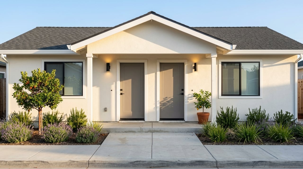
Folsom CA Bike Trails and Neighborhoods for Outdoor Living
March 12, 2026
March 12, 2026
If your perfect day starts with a lakeside jog and ends with dinner on a walkable main street, you’ll feel at home in Folsom. With water on two sides and trails threading through nearly every neighborhood, outdoor time fits right into your daily routine. In this guide, you’ll see how the city’s best-loved paths connect to coffee, shopping, schools, and commute options, plus which neighborhoods make it easy to live outside. Let’s dive in.
Folsom prioritizes trails. City sources cite 50+ miles of Class I paved bike and pedestrian paths that link neighborhoods to parks, retail, and water. These paved routes make it simple to run errands by bike, push a stroller, or start a fitness habit without getting in your car. They also tie into the region’s signature river corridor, so you can scale up from an everyday loop to a weekend adventure.
A major advantage here is access to the American River Parkway, a paved, signed route that runs between Old Sacramento and Folsom Lake. Tie that into local loops around Lake Natoma and you have a flexible network for quick exercise, relaxed family rides, and real-world commuting.
This is the regional spine, a roughly 32-mile paved multi-use trail from Discovery Park in Sacramento to Beal’s Point at Folsom Lake. You’ll find mile markers, restrooms at key points, and many access points that make it friendly for both long rides and short outings. It’s also the foundation for a bike commute toward downtown Sacramento for those who want a low-stress route.
Learn more about the Parkway’s features and access points.
Lake Natoma is Folsom’s calm-water gem, wrapped by paths that are ideal for running, family rides, and scenic spins. The Lake Natoma Trail is listed at about 5.5 miles in one direction, and many locals ride it as an 11 to 12 mile loop by connecting to nearby parkway segments. It’s also the home base for paddlers and rowers thanks to easy access points.
See an overview of the Lake Natoma Trail.
The Johnny Cash Trail is a locally loved, roughly 2.5-mile Class I path linking Historic Folsom to the river network. Public art and striking bridge views make it a favorite for out-and-back walks or runs. It also connects you directly to shops and dining, so you can pair a workout with a coffee or brunch.
Explore the Johnny Cash Trail’s story and route.
Folsom Lake SRA covers both Folsom Lake and Lake Natoma and includes a wide range of multi-use routes. The state park system highlights many trails that range from paved segments to dirt singletrack, with popular access points at Beal’s Point, Brown’s Ravine, and Granite Bay. Many sources describe the SRA as having about 95 miles of multi-use trails across its boundaries, which adds considerable variety for hikers, runners, and mountain bikers.
Get current details on trailheads, facilities, and day-use policies.
If you like to pair a workout with a treat, this is the hub. From Sutter Street you can access pedestrian bridges and the Johnny Cash Trail in minutes, then return for coffee, brunch, or the Saturday farmers market. It’s a great base for a short “coffee-to-river” loop before the day gets busy.
Check the farmers market schedule and local happenings.
Calm water and frequent activity make this a daily go-to for paddleboarding, kayaking, and rowing. The Sac State Aquatic Center offers classes, rentals, and events, so you can try a new sport or get back into one without buying gear. It’s a family-friendly area with plenty of places to watch the sunrise and get moving early.
View programs and rentals at the Sac State Aquatic Center.
Folsom’s retail hubs sit close to the trail network, which makes quick errands by bike feel practical. Palladio at Broadstone, the Iron Point corridor, and nearby outlets serve as convenient endpoints for a spin or a post-ride meal. Many centers have bike racks and easy car access if you decide to mix modes.
You’ll find a walkable main street, immediate access to pedestrian bridges, and a direct link to the Johnny Cash Trail. It’s easy to create a morning routine that includes a quick river run or ride, then breakfast on Sutter Street. If an active lifestyle with small-town charm appeals to you, put this area on your list.
These neighborhoods sit close to Lake Natoma launch points and trail connectors, which is great for paddlers and runners who want quiet shoreline access. You can also hop onto routes that lead into Historic Folsom for dining or errands. Daily exercise feels easy when the water is minutes from your front door.
These established areas offer tree-lined streets, neighborhood parks, and straightforward connections to the main trail corridors. Many residents walk or bike for short trips to schools and recreation. If you prefer a classic suburban feel with quick access to paved paths, this cluster delivers.
Oriented around a public golf course and open space, Empire Ranch puts you near both lake recreation and established trails. It’s a strong match if you want to balance greens time with weekend rides or hikes. You’ll find a mix of routes for casual fitness and longer spins.
This master-planned community south of Highway 50 is designed with open space and mobility in mind. The plan calls for more than 30 miles of internal bike paths and trails, along with significant park acreage. If you want new-home options with built-in access to paths, it’s a compelling choice.
See the city’s overview of Folsom Ranch open space and trails.
Living near Folsom’s main lifestyle center makes “ride for coffee, shop for dinner” an easy habit. You’re a short bike or drive from major retail, dining, and entertainment. It’s a flexible base for busy schedules that still value time outdoors.
Start in Historic Folsom, cross the Truss Bridge, and enjoy a short out-and-back along the river. Cool down with a coffee on Sutter Street, or browse the farmers market on Saturdays. This one is stroller-friendly and great for visitors.
Book an early paddle or rowing class at the Sac State Aquatic Center, then jog the lakeside path for a few scenic miles. Wrap up with brunch in Historic Folsom. Think sunrise photos, calm water, and easy parking on most weekdays.
Take a mellow ride on paved Class I paths toward Palladio or the outlets, lock up at a visible rack, and knock out a few errands. Reward yourself with an early dinner before heading home. It’s a simple way to fold movement into your weekday routine.
Paved versus dirt. Most of the city’s Class I routes are paved and friendly for commuters, strollers, and many e-bikes. In the state recreation area, you’ll find mixed dirt singletrack and multi-use haul roads. Check the surface and route type before you go so you bring the right shoes or bike.
Parking and fees. Many Folsom Lake SRA trailheads and boat ramps have day-use or vehicle fees. If you plan to frequent the area, consider a pass and confirm current rates before you head out.
Connectivity and crossings. Bridge projects like Folsom Lake Crossing maintenance and safety upgrades matter for how you move between neighborhoods and trailheads. Before a longer ride, check city updates for any scheduled work or temporary closures that might affect your route.
See the latest city news on bridge safety and maintenance.
Trail etiquette and stewardship. Yield correctly, keep right except to pass, and signal your moves. If you love the system, the Friends of Folsom Parkways Adopt-a-Trail program is a great way to get involved. Volunteers help keep the network clean, safe, and beautiful.
Buyer checklist for showings. Bring this quick list when you tour homes near the trails:
E-bike rules. E-bike permissions vary by jurisdiction and by trail segment. California State Parks publishes guidance by e-bike class and facility type, so review those details and look for local signage before you ride.
Read the State Parks e-bike guidance before your trip.
Choosing the right home in Folsom isn’t just about square footage. It’s about your daily rhythm. Our team pairs local insight with a concierge approach, helping you map the trail network around each listing, identify the best access points, and plan for storage or gear needs. We also coordinate vendors, staging, marketing, and a predictable process that keeps your move on track.
When you’re ready to explore Folsom neighborhoods that match your outdoor goals, reach out. We’ll line up showings, build a route plan, and give you the local context you need to feel confident.
Let’s talk about your move and the trail lifestyle you want with Sankaran and Associates, Inc.

When you meet us, you’ll also learn that we’re your neighbors. You can rest assured that your success is the priority every step of the way. Give us a call so we can get to know you and your needs.
950 Reserve Dr Ste 110 Roseville, CA 95678 JASMINE SUNKARA | CA DRE# 1855557